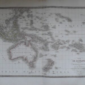
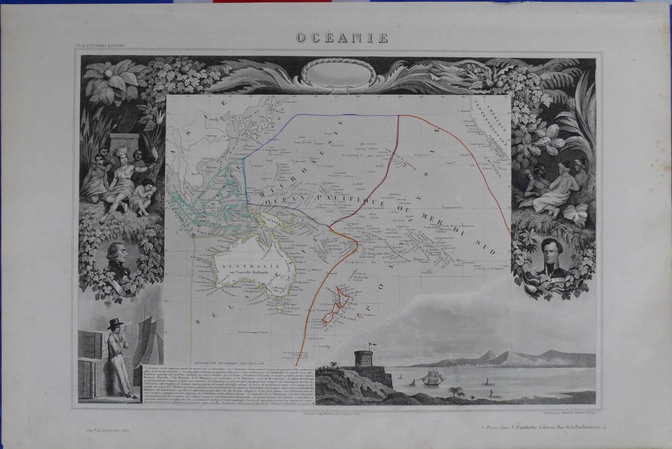
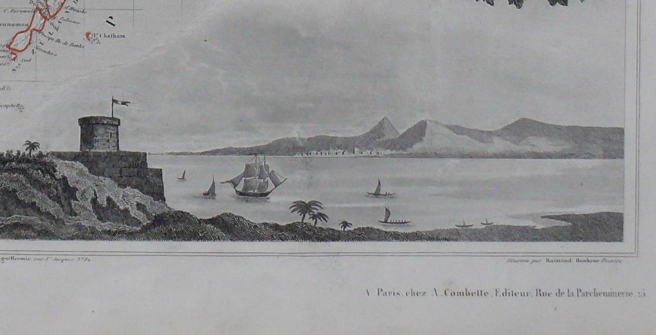
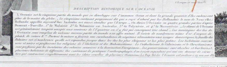
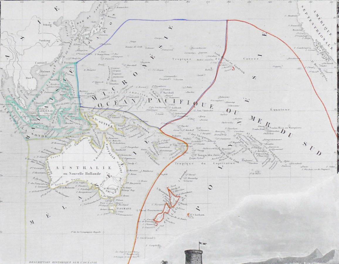
Original 1852 Levasseur / Bonheur Map of Oceania and New Zealand.
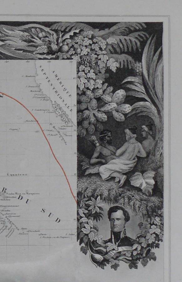
Steel engraving with a superb allegorical border depicting the people, scenery and trade goods of the time.
$285.00 AUD
Availability: 1 in stock
Original 1852 Levasseur / Bonheur Map of Oceania and New Zealand.
Steel engraving with a superb allegorical border depicting the people, scenery and trade goods of the time.
| SKU |
|---|
54 x 36 cms with borders of 4 + 6 cms
Condition: Very good.
The marks of the engraver, Laguillermie, and the illustrator, Raimond Bonheur, appear in the lower margin.
Please see pictures.
Victor Levasseur was a French engineer, cartographer, and engraver and during his life held a number of cartographically related political and educations posts within France.Mostly he is famous for his Atlas National Illustré des 86 Départements et des Possessions de La France being a large decorative atlas of France which also includes his Planisphere and five important continental maps.Levasseur’s beautiful maps are highly distinctive for their wide decorative margins containing the elaborate depictions of the scenery, peoples, and trade goods of the areas he mapped. His maps are also known to offer a great deal of statistical data. Up until recently there were very few Levasseur Atlases outside of France. They were mostly used within public libraries and town halls. His stunning work represents some of the last great decorative atlases produced in the 19th century.
*All biographical information taken from Wilipedia for educational purposes only
Select at least 2 products
to compare